

Property History and Potential
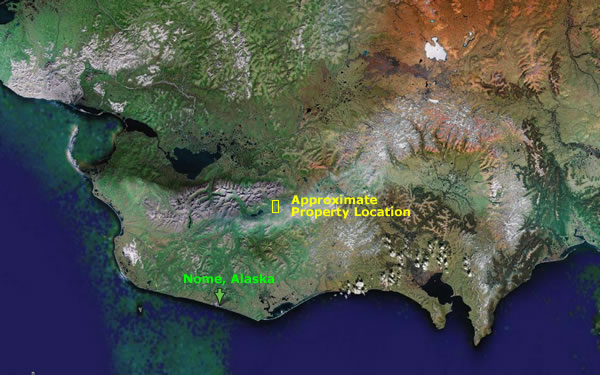
Nome, Alaska has always been a gold bearing territory attracting all kinds of mining enterprises with various means of gold extraction. Many different mining companies have left their relics dotting the surrounding Nome territory with one notable exception - the Sherette Creek valley approximately 50 miles northeast of Nome.
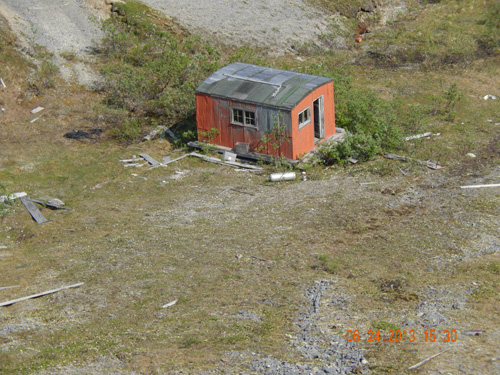
Mike Peckenpaugh, a mining engineer, consultant and previous District Mining Engineer for the US Geological Survey with some 25 years mining experience noticed this lack of mining activity in the Sherette Creek valley. In 1980, he started investigating the reasons why and discovered in 1917 that Sherette Creek (an eight and a half mile strip six hundred feet wide – 562 acres) was patented by owners that have since disappeared. Without Sherette Creek access and owner permission, mining was not feasible because it was private property – the only property like this in many miles. It became relatively untouched gold mining property sitting idle for almost a century.
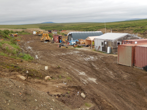
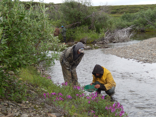
After a lengthy legal process, and in the year 2000, Mike Peckenpaugh became the fee simple owner of the Sherette Creek patented property and began test sampling and production to determine the potential offered in gold to a mining company seeking the key to mining this valley encompassing more than 10,000 acres (more than sixteem square miles) of very rich gold bearing placer.
In 1908 (104 year ago), The Nome Gold Placer Mining Company (an Arizona Company exploring the area with 1830 acres of claims on Sherette Creek) prepared a prospectus (copy available on request) describing values found at bedrock with depths ranging to 165 feet. Although values at that time are described at 10 cents per gold pan, at $1,300 per ounce the values would equate to an ounce per yard. In addition, large nuggets are mentioned with one 10 ounce nugget selling for $200. Other values are mentioned with $1.25 valued as the standard for a cubic yard. This is $82 per cubic yard at $1,300 per ounce.
Other references from the US Geological Open File Report (96-513-B) show gold recovered and reported from the Kougarok District - including Sherette and Iron Creek (just to the south of Sherette Creek) of 142,824 ounces. Just to the east of Sherette Creek is Council – reported recovery is 837,038 ounces. Of course the Nome district to the south of Sherette Creek has the most reported production – 4,000,000 ounces.
In conclusion, Sherette Creek has enormous potential as it is right in the middle of all the action seen a century ago – also patenting the land was a very good clue that this was a gold rich property.
A hundred years ago, ownership complications preserved the values for modern day equipment and high gold prices. It is conceivable this could be one of the richest placer mines in Alaska.

![[Most Recent Quotes from www.kitco.com]](http://www.kitconet.com/charts/metals/gold/t24_au_en_usoz_2.gif)